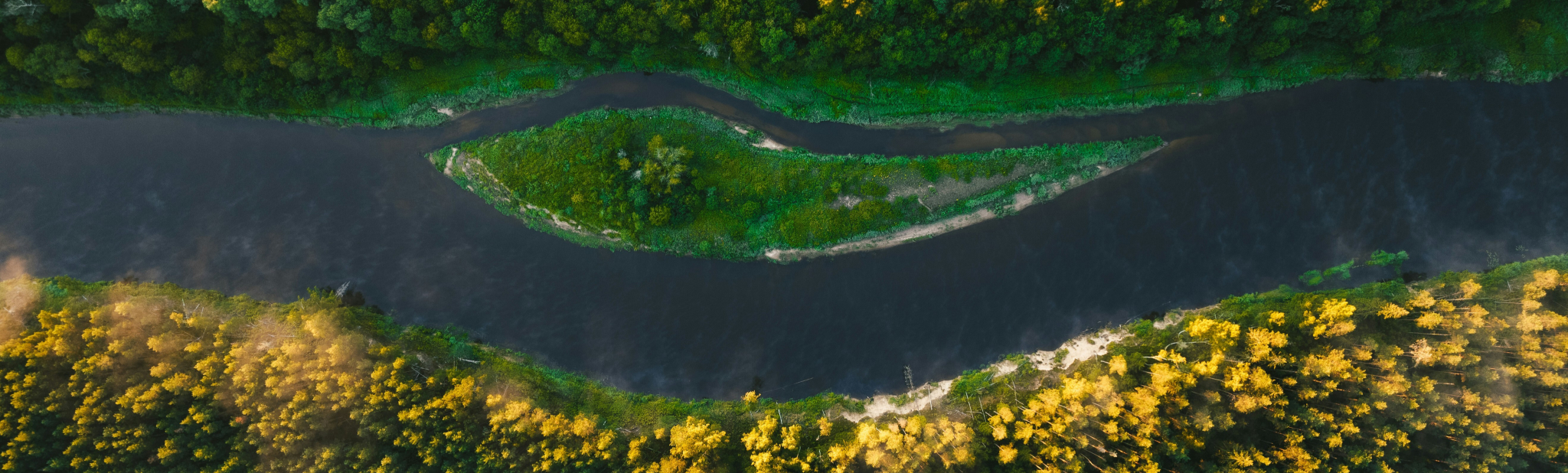
Detect change
at global scale
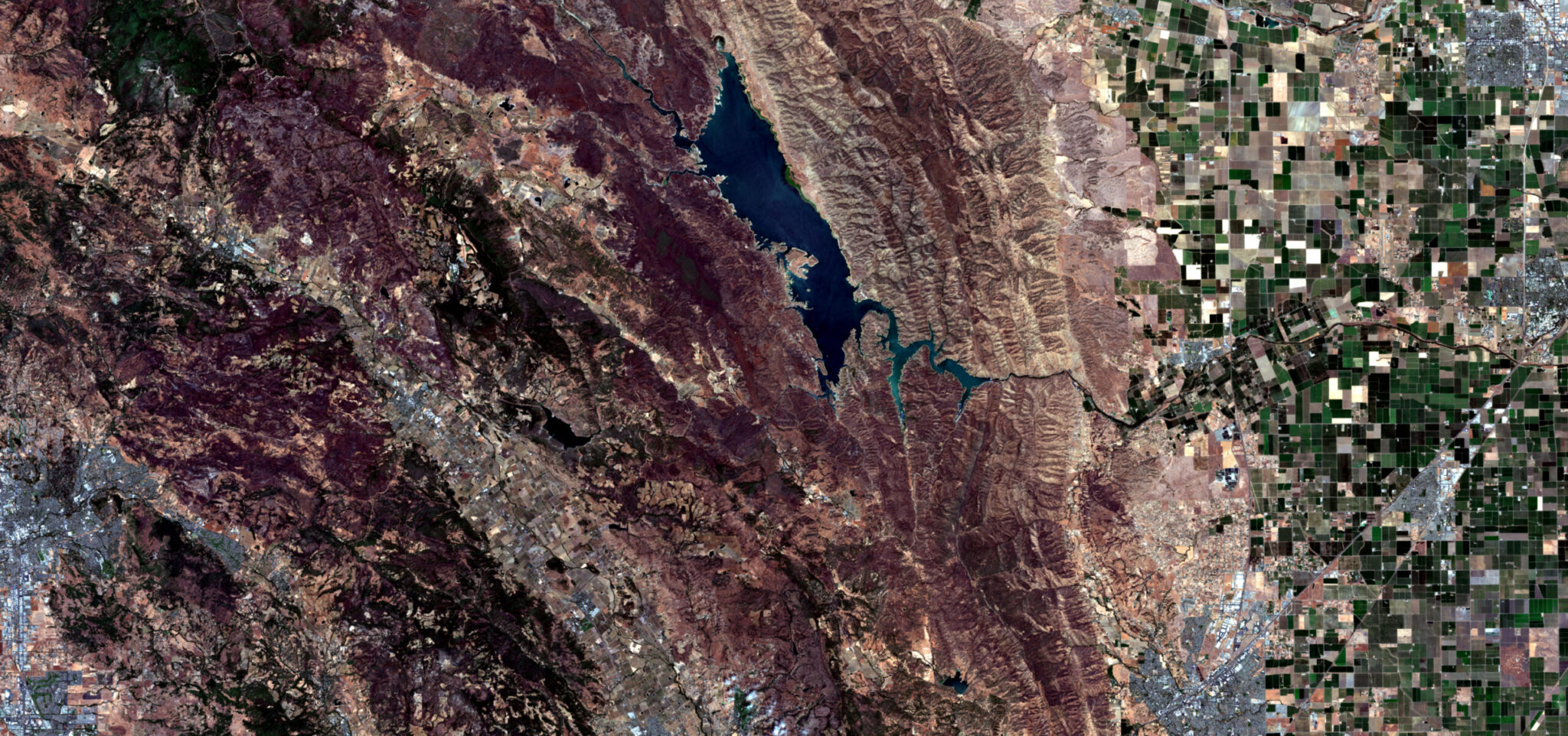
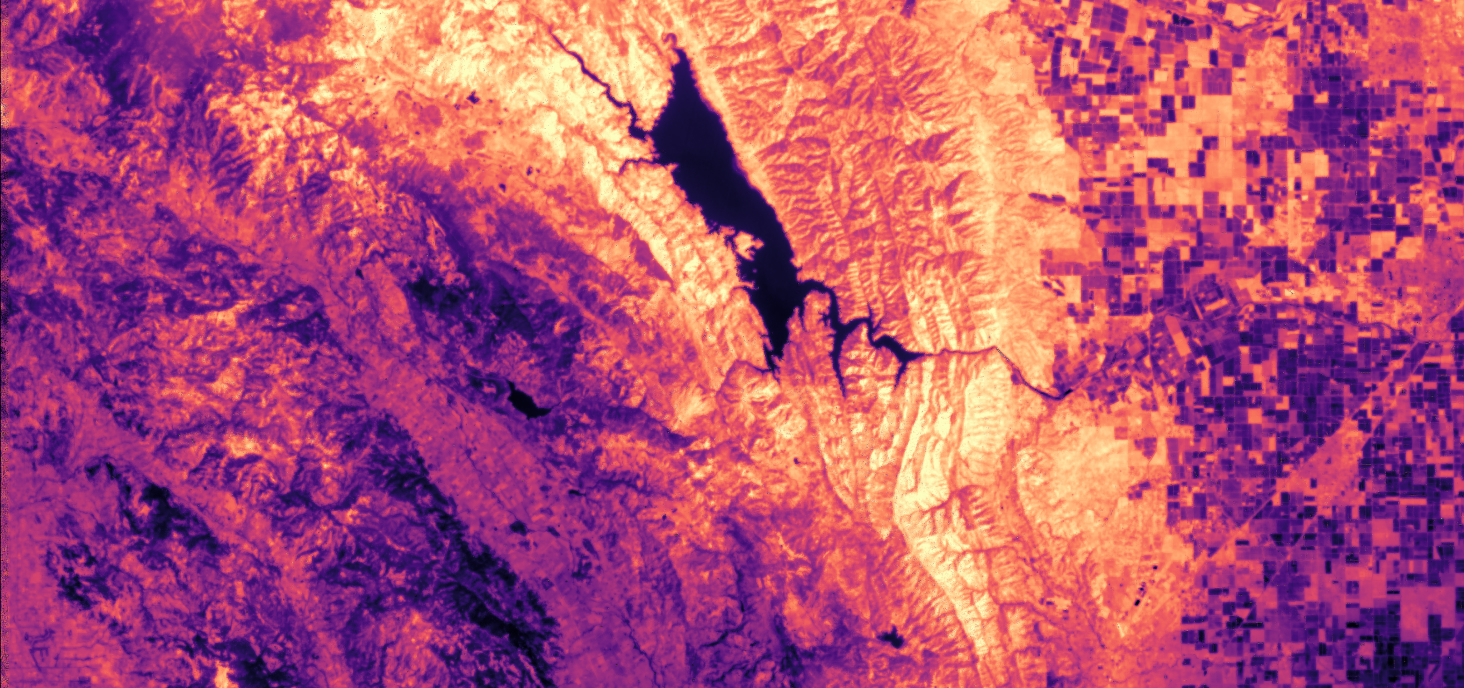
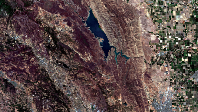
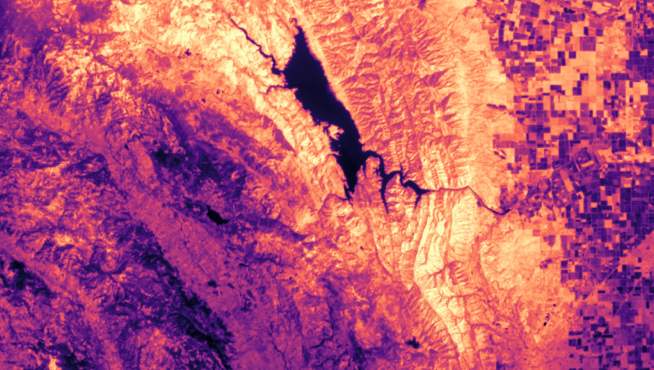
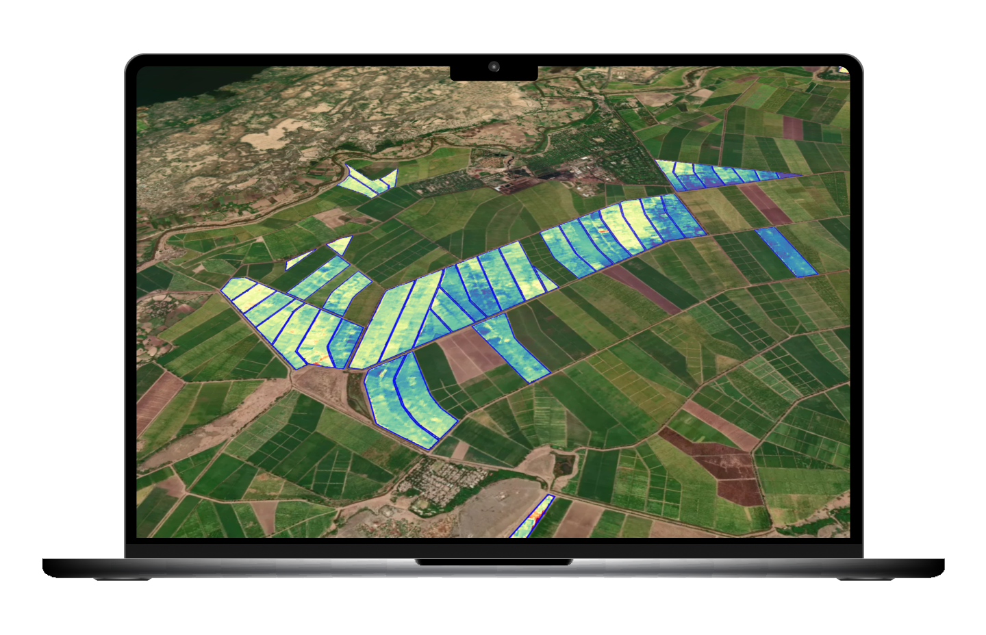
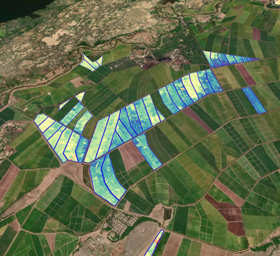
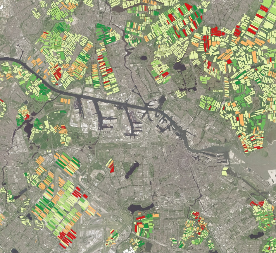
Hydrosat provides thermal infrared data and analytics to help governments, companies, and partners monitor resources, detect change, and act earlier. Detect, track, and monitor risk day and night with our end-to-end thermal solutions.


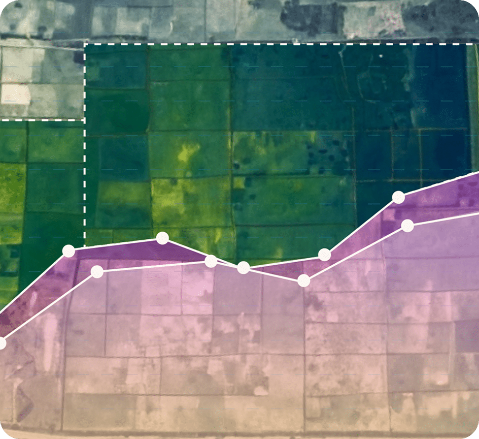
Solutions used daily on millions of hectares worldwide